Map Orientation
-
mpallamary
- Posts: 3469
- Joined: Tue Mar 11, 2008 2:12 pm
Re: Map Orientation
And then there's this:
You do not have the required permissions to view the files attached to this post.
-
Peter Ehlert

- Posts: 724
- Joined: Sun Oct 26, 2003 2:40 pm
- Location: N31°43', W116°39'
- Contact:
Re: Map Orientation
it's funny that nobody picked-up on me applying the declination the Wrong Way.Peter Ehlert wrote:North, declination +11°03"
or
Surveyor to Recorder, just do it
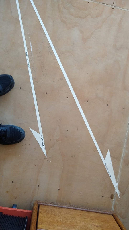
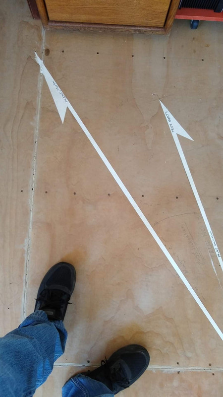

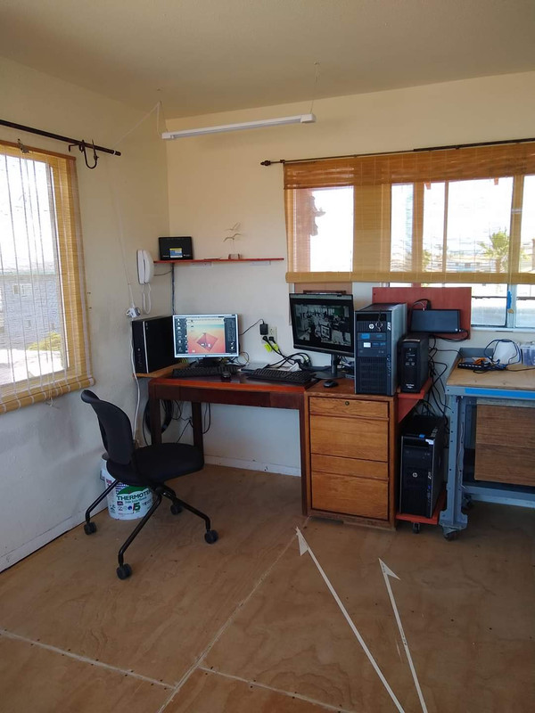
*I was setting my brass tag at the center point when the ball dropped. I blushed for Weeks!
I went to such pains to get a solid accurate Magnetic baseline, then dropped the ball. (silly old men do silly things)
My son still has not come to set the tile (it will be oriented to Magnetic) so I have to look at it every damned day.
anyway,
Surveyor to Recorder, just do it
Peter Ehlert PLS 5116 (retired)